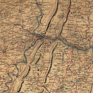
Regional
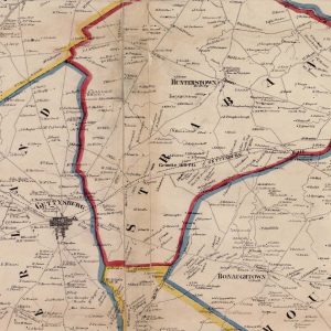
Pennsylvania
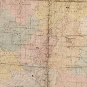
Virginia
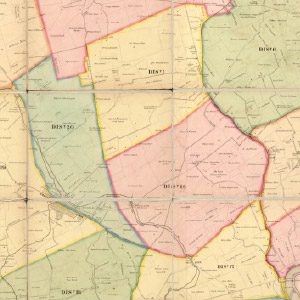
Images, Maps, Videos
This collection of maps include battlefields and locations bordering the divide between the Union and Confederacy during the Civil War era. Navigate to different map categories by click on the category menu options below. To view a PDF map, click on the “View Map” link for the location of interest.
Select a Category


This project has been generously funded by the National Endowment for the Humanities, the National Park Service, the Maryland Heritage Areas Authority, Heart of the Civil War Heritage Area, Frederick Community College, and others.

